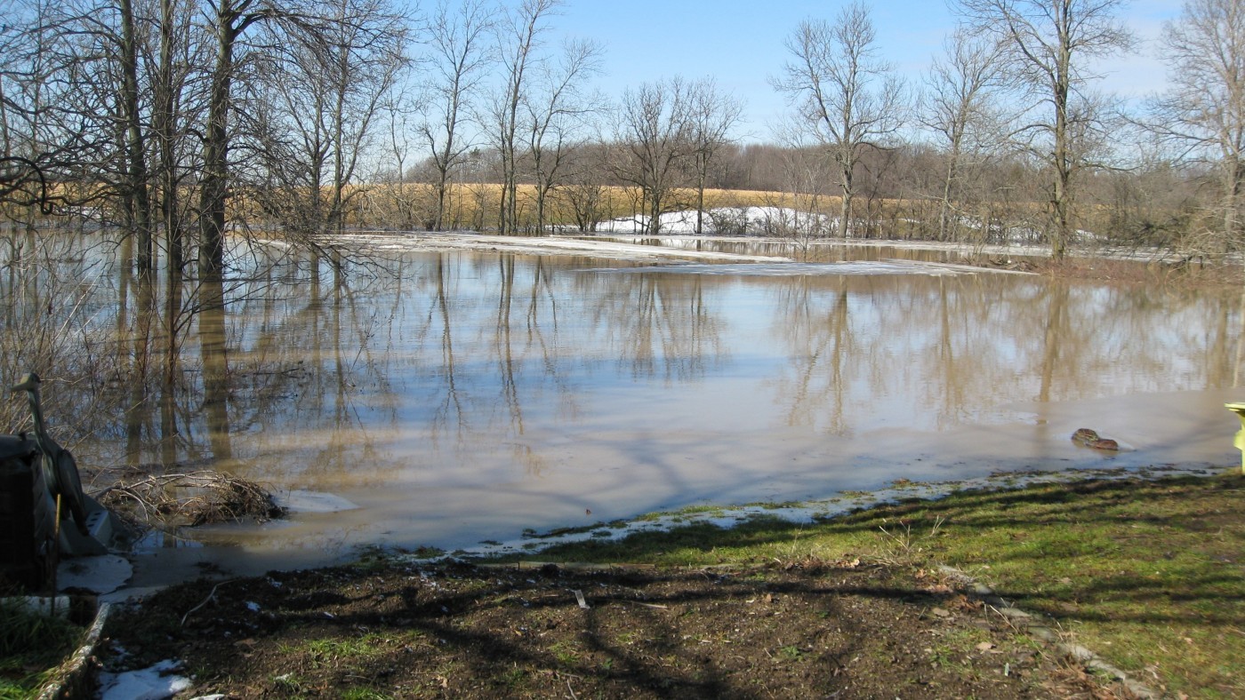

The Niagara Peninsula Conservation Authority (NPCA) is pleased to announce that the Oswego Creek Floodplain Mapping project has reached its final stage. The updated floodplain maps for Oswego Creek—spanning Haldimand County and parts of Wainfleet—are now available for public review.
A 30-day public commenting period runs from June 16 to July 14, providing an important opportunity for community members and interested parties to review the final maps and submit feedback before they are presented to the NPCA Board for approval in July.
Since the project’s launch in April 2023, NPCA hosted three public information sessions to keep residents informed and involved. These efforts reflect the organization's commitment to transparency, public engagement, and climate-resilient planning.
How to Participate
- Review and comment online: Visit GetInvolved.NPCA.ca to access the floodplain maps and submit comments via the Question & Answer tool.
- Submit written feedback: Contact Brendan Buggeln directly at bbuggeln@npca.ca.
- Access technical resources: Visit the NPCA Floodplain Mapping page for detailed information and tools, including an interactive map to see if your property is located within the study area.
Floodplain mapping is based on the 100-year flood event standard, following Ontario Regulation 41/24. NPCA uses advanced hydrologic and hydraulic modeling to ensure all maps are scientifically sound and defensible.
Updated floodplain maps play a crucial role in responsible land-use planning by helping avoid development in high-risk flood areas. They inform emergency management teams in guiding flood response strategies and contribute to building resilient communities by supporting efforts to mitigate long-term flood risks.
NPCA thanks all participants for their input throughout the project and encourages continued engagement as we take this final step.
QUOTE
“Floodplains play a critical role in reducing risks due to flooding and erosion,” said Brendan Buggeln, Manager of Natural Hazard Management and Resiliency. “By updating these maps, we’re ensuring local land use planning and emergency response efforts are grounded in the most accurate and current science. Community input is important to this process, and residents are invited to share their insights and participate.”
—30—
About Niagara Peninsula Conservation Authority:
As a community-based natural resource management agency, the Niagara Peninsula Conservation Authority envisions a healthy and vibrant natural environment with shared greenspace and clean water for all. NPCA’s work supports the conservation, enhancement, and sustainability of healthy watersheds with programs and services that focus on drinking water source protection, flood and hazard management, ecosystem restoration, community stewardship, education, and land management.
NPCA is the caretaker of 43 conservation areas within the Niagara Peninsula watershed held in public trust for recreation, heritage preservation, conservation, and education. These natural and shared greenspaces marry nature, culture, and adventure to create limitless opportunities for discovery.
Media inquiries to be directed to:
Jennifer McQuillan, Communications and Marketing Specialist
Mobile: 905-933-0532
jmcquillan@npca.ca
Questions about the Oswego Creek Floodplain Mapping project:
Brendan Buggeln, Manager Natural Hazard Management & Resiliency
Office: 905.788.3135 Ext 328
floodmapping@npca.ca